
Thank you for supporting this site ❤️
Make a donation
Make a donation
San Felipe Zapotitlán topographic map
Click on the map to display elevation.
Thank you for supporting this site ❤️
Make a donation
Make a donation
About this map
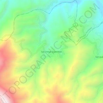
Name: San Felipe Zapotitlán topographic map, elevation, terrain.
Location: San Felipe Zapotitlán, Villa Sola de Vega, Oaxaca, Mexico (16.82667 -97.25194 16.86667 -97.21194)
Average elevation: 1,763 m
Minimum elevation: 1,391 m
Maximum elevation: 2,340 m
Thank you for supporting this site ❤️
Make a donation
Make a donation