Eagle Ranch topographic map
Click on the map to display elevation.
About this map
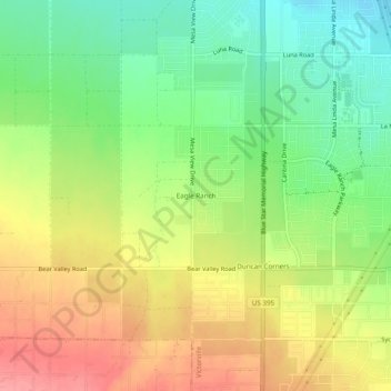
Name: Eagle Ranch topographic map, elevation, terrain.
Average elevation: 1,006 m
Minimum elevation: 963 m
Maximum elevation: 1,053 m

Click on the map to display elevation.
Name: Eagle Ranch topographic map, elevation, terrain.
Average elevation: 1,006 m
Minimum elevation: 963 m
Maximum elevation: 1,053 m