
Cory topographic map
Interactive map
Click on the map to display elevation.
About this map
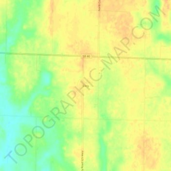
Name: Cory topographic map, elevation, terrain.
Location: Cory, Clay County, Indiana, USA (39.36226 -87.22585 39.40226 -87.18585)
Average elevation: 188 m
Minimum elevation: 168 m
Maximum elevation: 198 m