
Thank you for supporting this site ❤️
Make a donation
Make a donation
Dichtuhüs topographic map
Click on the map to display elevation.
Thank you for supporting this site ❤️
Make a donation
Make a donation
About this map
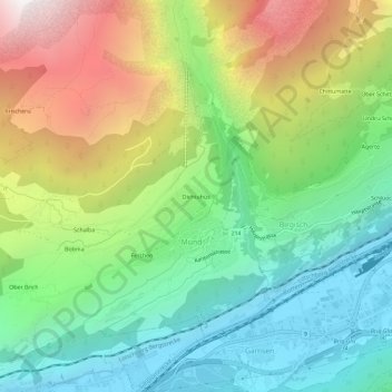
Name: Dichtuhüs topographic map, elevation, terrain.
Location: Dichtuhüs, Mund, Naters, Brig, Wallis, 3903, Switzerland (46.29988 7.92179 46.33988 7.96179)
Average elevation: 1,385 m
Minimum elevation: 650 m
Maximum elevation: 2,665 m
Thank you for supporting this site ❤️
Make a donation
Make a donation