
Jarville topographic map
Interactive map
Click on the map to display elevation.
About this map
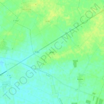
Name: Jarville topographic map, elevation, terrain.
Average elevation: 107 m
Minimum elevation: 99 m
Maximum elevation: 117 m
Other topographic maps
Click on a map to view its topography, its elevation and its terrain.
Busseau
France > Île-de-France > Seine-et-Marne > Aufferville
Busseau, Aufferville, Fontainebleau, Seine-et-Marne, Île-de-France, France métropolitaine, 77570, France
Average elevation: 108 m