
Las Canalejas topographic map
Interactive map
Click on the map to display elevation.
About this map
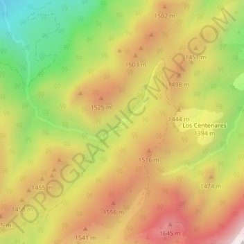
Name: Las Canalejas topographic map, elevation, terrain.
Location: Las Canalejas, Santiago-Pontones, Jaén, Andalucía, España (38.06375 -2.76058 38.08375 -2.74058)
Average elevation: 1,367 m
Minimum elevation: 928 m
Maximum elevation: 1,749 m