
Thank you for supporting this site ❤️
Make a donation
Make a donation
Suranenggala topographic map
Click on the map to display elevation.
Thank you for supporting this site ❤️
Make a donation
Make a donation
About this map
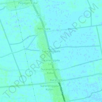
Name: Suranenggala topographic map, elevation, terrain.
Location: Suranenggala, Cirebon, West Java, Java, 45159, Indonesia (-6.63678 108.50211 -6.59678 108.54211)
Average elevation: 2 m
Minimum elevation: -1 m
Maximum elevation: 6 m
Thank you for supporting this site ❤️
Make a donation
Make a donation