
Thank you for supporting this site ❤️
Make a donation
Make a donation
Teluk Sasah topographic map
Click on the map to display elevation.
Thank you for supporting this site ❤️
Make a donation
Make a donation
About this map
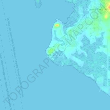
Name: Teluk Sasah topographic map, elevation, terrain.
Location: Teluk Sasah, Bintan, Riau Islands, Sumatra, Indonesia (1.00029 104.20961 1.04029 104.24961)
Average elevation: 1 m
Minimum elevation: -1 m
Maximum elevation: 32 m
Thank you for supporting this site ❤️
Make a donation
Make a donation