
Thank you for supporting this site ❤️
Make a donation
Make a donation
Krummhörn topographic map
Click on the map to display elevation.
Thank you for supporting this site ❤️
Make a donation
Make a donation
About this map
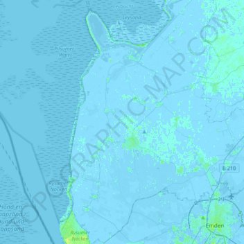
Name: Krummhörn topographic map, elevation, terrain.
Location: Krummhörn, Landkreis Aurich, Nedersaksen, 26736, Duitsland (53.35210 7.01083 53.54607 7.21200)
Average elevation: 0 m
Minimum elevation: -5 m
Maximum elevation: 10 m
Thank you for supporting this site ❤️
Make a donation
Make a donation
Other topographic maps
Click on a map to view its topography, its elevation and its terrain.