
Sumvitg topographic map
Interactive map
Click on the map to display elevation.
About this map
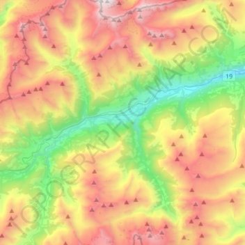
Name: Sumvitg topographic map, elevation, terrain.
Location: Sumvitg, Surselva, Graubünden, Zwitserland (46.62433 8.87744 46.81115 9.02533)
Average elevation: 2,014 m
Minimum elevation: 774 m
Maximum elevation: 3,566 m
Other topographic maps
Click on a map to view its topography, its elevation and its terrain.
Rabius
Zwitserland > Graubünden > Surselva
Rabius, Sumvitg, Surselva, Graubünden, 7172, Zwitserland
Average elevation: 1,255 m