
Thank you for supporting this site ❤️
Make a donation
Make a donation
Porcupine Plain topographic map
Click on the map to display elevation.
Thank you for supporting this site ❤️
Make a donation
Make a donation
About this map
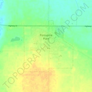
Name: Porcupine Plain topographic map, elevation, terrain.
Location: Porcupine Plain, Division No. 14, Saskatchewan, Canada (52.58886 -103.26631 52.60393 -103.24258)
Average elevation: 500 m
Minimum elevation: 484 m
Maximum elevation: 513 m
Thank you for supporting this site ❤️
Make a donation
Make a donation
Other topographic maps
Click on a map to view its topography, its elevation and its terrain.