
Virgen de Chapi topographic map
Click on the map to display elevation.
About this map
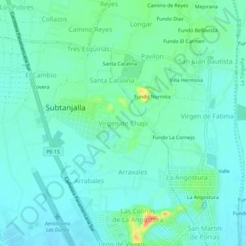
Name: Virgen de Chapi topographic map, elevation, terrain.
Location: Virgen de Chapi, Subtanjalla, Ica, 11000, Perú (-14.04116 -75.76869 -14.00116 -75.72869)
Average elevation: 423 m
Minimum elevation: 411 m
Maximum elevation: 465 m