
Tschatali topographic map
Interactive map
Click on the map to display elevation.
About this map
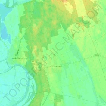
Name: Tschatali topographic map, elevation, terrain.
Average elevation: 93 m
Minimum elevation: 82 m
Maximum elevation: 106 m
Other topographic maps
Click on a map to view its topography, its elevation and its terrain.
Frankenstadt
Frankenstadt, Kreis Frankenstadt, Komitat Bács-Kiskun, Südliche Tiefebene, Nördliche Große Tiefebene, Ungarn
Average elevation: 106 m