
Turrach topographic map
Interactive map
Click on the map to display elevation.
About this map
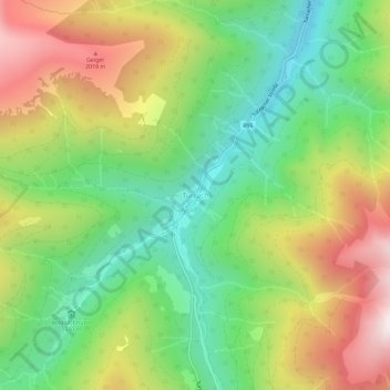
Name: Turrach topographic map, elevation, terrain.
Average elevation: 1,607 m
Minimum elevation: 1,193 m
Maximum elevation: 2,192 m
Other topographic maps
Click on a map to view its topography, its elevation and its terrain.
Paal
Oostenrijk > Stiermarken > Bezirk Murau > Stadl-Predlitz
Paal, Stadl-Predlitz, Bezirk Murau, Stiermarken, 8862, Oostenrijk
Average elevation: 1,183 m