
Exeter topographic map
Click on the map to display elevation.
About this map
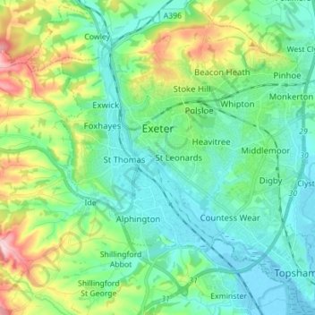
Name: Exeter topographic map, elevation, terrain.
Location: Exeter, Devon, England, United Kingdom (50.67318 -3.57020 50.76147 -3.45116)
Average elevation: 56 m
Minimum elevation: -3 m
Maximum elevation: 218 m