
Thank you for supporting this site ❤️
Make a donation
Make a donation
Günterstal topographic map
Click on the map to display elevation.
Thank you for supporting this site ❤️
Make a donation
Make a donation
About this map
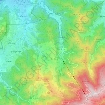
Name: Günterstal topographic map, elevation, terrain.
Location: Günterstal, Freiburg im Breisgau, Baden-Württemberg, Germany (47.90358 7.83463 47.97574 7.89846)
Average elevation: 601 m
Minimum elevation: 255 m
Maximum elevation: 1,279 m
Thank you for supporting this site ❤️
Make a donation
Make a donation
Other topographic maps
Click on a map to view its topography, its elevation and its terrain.