
Thank you for supporting this site ❤️
Make a donation
Make a donation
Port Sulphur topographic map
Click on the map to display elevation.
Thank you for supporting this site ❤️
Make a donation
Make a donation
About this map
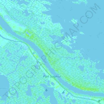
Name: Port Sulphur topographic map, elevation, terrain.
Location: Port Sulphur, Plaquemines Parish, Louisiana, United States (29.45001 -89.79796 29.57206 -89.64487)
Average elevation: 1 m
Minimum elevation: -4 m
Maximum elevation: 11 m
Thank you for supporting this site ❤️
Make a donation
Make a donation
Other topographic maps
Click on a map to view its topography, its elevation and its terrain.