
Illerup topographic map
Interactive map
Click on the map to display elevation.
About this map
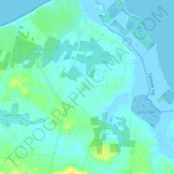
Name: Illerup topographic map, elevation, terrain.
Location: Illerup, Kalundborg Kommune, 4400, Dänemark (55.70098 11.09598 55.74098 11.13598)
Average elevation: 4 m
Minimum elevation: -4 m
Maximum elevation: 20 m