Schieder-Schwalenberg topographic map
Interactive map
Click on the map to display elevation.
About this map
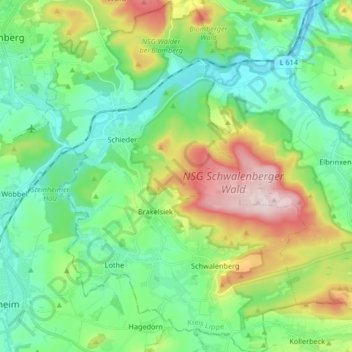
Name: Schieder-Schwalenberg topographic map, elevation, terrain.
Average elevation: 207 m
Minimum elevation: 104 m
Maximum elevation: 452 m

Click on the map to display elevation.
Name: Schieder-Schwalenberg topographic map, elevation, terrain.
Average elevation: 207 m
Minimum elevation: 104 m
Maximum elevation: 452 m