
Oak Creek topographic map
Interactive map
Click on the map to display elevation.
About this map
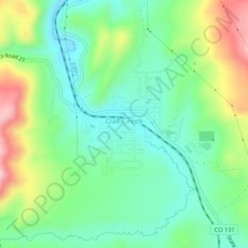
Name: Oak Creek topographic map, elevation, terrain.
Location: Oak Creek, Routt County, Colorado, 80467, United States (40.26881 -106.96498 40.28032 -106.95042)
Average elevation: 2,325 m
Minimum elevation: 2,243 m
Maximum elevation: 2,490 m