
Thank you for supporting this site ❤️
Make a donation
Make a donation
Kampung Tok Senik topographic map
Click on the map to display elevation.
Thank you for supporting this site ❤️
Make a donation
Make a donation
About this map
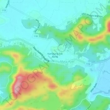
Name: Kampung Tok Senik topographic map, elevation, terrain.
Location: Kampung Tok Senik, Mata Ayer, Langkawi, Kedah, 07000, Malaysia (6.30553 99.75858 6.34553 99.79858)
Average elevation: 53 m
Minimum elevation: -1 m
Maximum elevation: 200 m
Thank you for supporting this site ❤️
Make a donation
Make a donation