
Ramtek topographic map
Click on the map to display elevation.
About this map
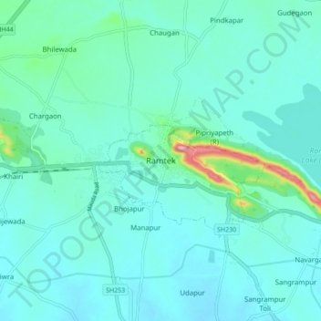
Name: Ramtek topographic map, elevation, terrain.
Location: Ramtek, Nagpur, Maharashtra, 441106, India (21.35575 79.28575 21.43575 79.36575)
Average elevation: 322 m
Minimum elevation: 298 m
Maximum elevation: 463 m