
Harold Johnson Nature Reserve topographic map
Interactive map
Click on the map to display elevation.
About this map
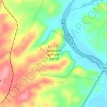
Name: Harold Johnson Nature Reserve topographic map, elevation, terrain.
Average elevation: 51 m
Minimum elevation: 2 m
Maximum elevation: 111 m