
Thank you for supporting this site ❤️
Make a donation
Make a donation
Tawang topographic map
Click on the map to display elevation.
Thank you for supporting this site ❤️
Make a donation
Make a donation
Tawang
Tawang is situated 448 km north-west of state capital Itanagar at an elevation of approximately 3,048 metres (10,000 ft). The town lies to the north of the Tawang Chu river valley, roughly 10 miles (16 km) south of the Line of Actual Control with China. The town once served as the district headquarters of West Kameng district. In 1989, the present day Tawang district to the north of the Sela Pass was split off as a separate district.
Thank you for supporting this site ❤️
Make a donation
Make a donation
About this map
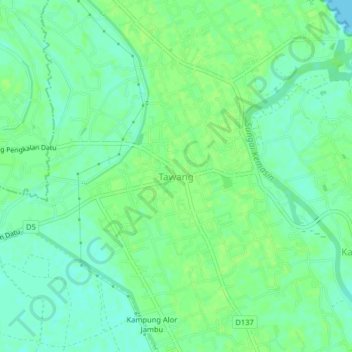
Name: Tawang topographic map, elevation, terrain.
Location: Tawang, Bachok, Kelantan, 16050, Malaysia (6.09511 102.32953 6.13511 102.36953)
Average elevation: 7 m
Minimum elevation: 0 m
Maximum elevation: 11 m
Thank you for supporting this site ❤️
Make a donation
Make a donation