
Sedley topographic map
Interactive map
Click on the map to display elevation.
About this map
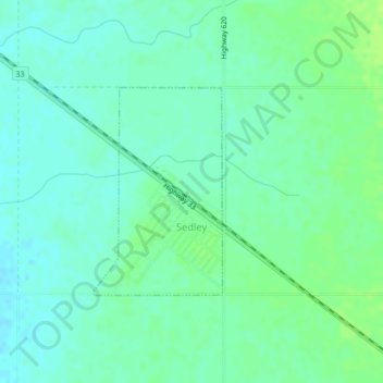
Name: Sedley topographic map, elevation, terrain.
Location: Sedley, Saskatchewan, S0G 4K0, Canada (50.16356 -104.02267 50.17820 -104.00849)
Average elevation: 597 m
Minimum elevation: 591 m
Maximum elevation: 603 m
Other topographic maps
Click on a map to view its topography, its elevation and its terrain.
Sedley
Canada > Saskatchewan > Sedley
Sedley, Census Division No. 6, Saskatchewan, S0G 4K0, Canada
Average elevation: 597 m