
Thank you for supporting this site ❤️
Make a donation
Make a donation
Fehndorf topographic map
Click on the map to display elevation.
Thank you for supporting this site ❤️
Make a donation
Make a donation
About this map
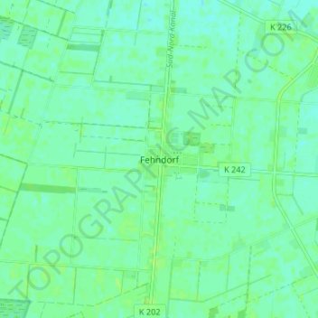
Name: Fehndorf topographic map, elevation, terrain.
Location: Fehndorf, Haren (Ems), Landkreis Emsland, Nedersaksen, Duitsland (52.75986 7.08704 52.79986 7.12704)
Average elevation: 16 m
Minimum elevation: 12 m
Maximum elevation: 20 m
Thank you for supporting this site ❤️
Make a donation
Make a donation