
Thank you for supporting this site ❤️
Make a donation
Make a donation
Tidewater topographic map
Click on the map to display elevation.
Thank you for supporting this site ❤️
Make a donation
Make a donation
About this map
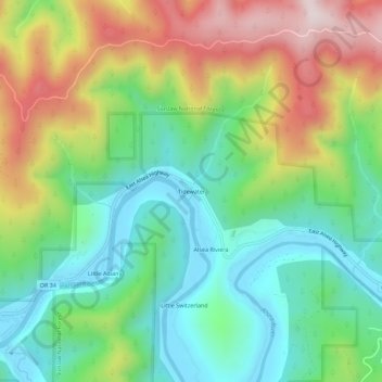
Name: Tidewater topographic map, elevation, terrain.
Location: Tidewater, Lincoln County, Oregon, 97390, United States (44.39178 -123.92156 44.43178 -123.88156)
Average elevation: 222 m
Minimum elevation: -4 m
Maximum elevation: 606 m
Thank you for supporting this site ❤️
Make a donation
Make a donation
Other topographic maps
Click on a map to view its topography, its elevation and its terrain.