
Thank you for supporting this site ❤️
Make a donation
Make a donation
Madak Lusht topographic map
Click on the map to display elevation.
Thank you for supporting this site ❤️
Make a donation
Make a donation
About this map
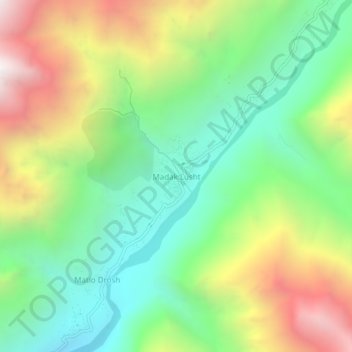
Name: Madak Lusht topographic map, elevation, terrain.
Average elevation: 3,006 m
Minimum elevation: 2,369 m
Maximum elevation: 4,033 m
Thank you for supporting this site ❤️
Make a donation
Make a donation
Other topographic maps
Click on a map to view its topography, its elevation and its terrain.
Lower Chitral District
Pakistan > Khyber Pakhtunkhwa > Former Chitrāl District
Average elevation: 3,685 m
Former Chitrāl District
Pakistan > Khyber Pakhtunkhwa > Former Chitrāl District
Chitral is connected to the rest of Pakistan by two major road routes, the Lowari Pass (el. 10,230 ft.) from Dir and Shandur Top (elevation 12,200 ft.) from Gilgit. Both routes used to be closed in winter, but circa 2017 the highway Lowari Tunnel under the Lowari Pass opened to vehicular traffic for at least…
Average elevation: 3,729 m