
多古町 topographic map
Interactive map
Click on the map to display elevation.
About this map
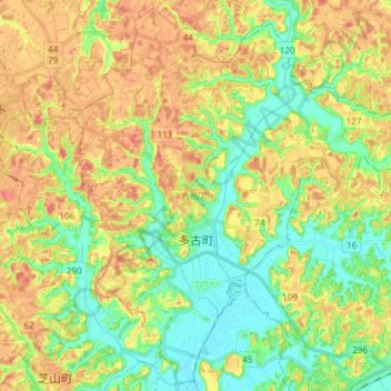
Name: 多古町 topographic map, elevation, terrain.
Location: 多古町, 香取郡, Préfecture de Chiba, Japon (35.69107 140.40186 35.80712 140.55046)
Average elevation: 27 m
Minimum elevation: 2 m
Maximum elevation: 55 m