
Kiental topographic map
Interactive map
Click on the map to display elevation.
About this map
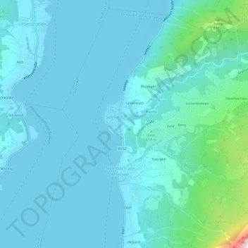
Name: Kiental topographic map, elevation, terrain.
Location: Kiental, Vöcklabruck, Opper-Oostenrijk, 4853, Oostenrijk (47.81765 13.52760 47.85765 13.56760)
Average elevation: 572 m
Minimum elevation: 460 m
Maximum elevation: 1,451 m