
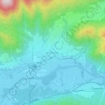
Weng im Gesäuse topographic map
Interactive map
Click on the map to display elevation.
About this map
Name: Weng im Gesäuse topographic map, elevation, terrain.
Location: Weng im Gesäuse, Admont, Bezirk Liezen, Styrie, 8911, Autriche (47.57804 14.48372 47.61804 14.52372)
Average elevation: 780 m
Minimum elevation: 609 m
Maximum elevation: 1,467 m