
Falling Branch topographic map
Interactive map
Click on the map to display elevation.
About this map
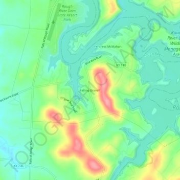
Name: Falling Branch topographic map, elevation, terrain.
Location: Falling Branch, Grayson County, Kentucky, 40119, USA (37.57478 -86.51720 37.61478 -86.47720)
Average elevation: 171 m
Minimum elevation: 138 m
Maximum elevation: 240 m