
Thank you for supporting this site ❤️
Make a donation
Make a donation
Maimelane topographic map
Click on the map to display elevation.
Thank you for supporting this site ❤️
Make a donation
Make a donation
About this map
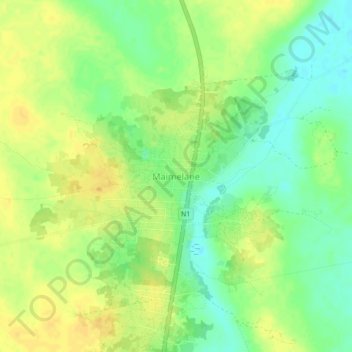
Name: Maimelane topographic map, elevation, terrain.
Location: Maimelane, Inhassoro, Inhambane Province, Mozambique (-21.68522 35.07350 -21.64522 35.11350)
Average elevation: 24 m
Minimum elevation: 9 m
Maximum elevation: 35 m
Thank you for supporting this site ❤️
Make a donation
Make a donation