
Dell City topographic map
Interactive map
Click on the map to display elevation.
About this map
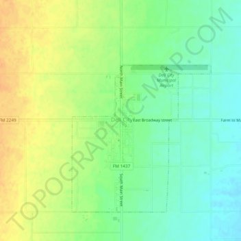
Name: Dell City topographic map, elevation, terrain.
Location: Dell City, Hudspeth County, Texas, 79837, United States (31.91872 -105.22135 31.95872 -105.18135)
Average elevation: 1,130 m
Minimum elevation: 1,114 m
Maximum elevation: 1,147 m