
Thank you for supporting this site ❤️
Make a donation
Make a donation
Ashley Corner topographic map
Click on the map to display elevation.
Thank you for supporting this site ❤️
Make a donation
Make a donation
About this map
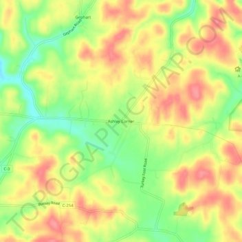
Name: Ashley Corner topographic map, elevation, terrain.
Location: Ashley Corner, Scioto County, Ohio, 45677, United States (38.74952 -82.80628 38.78952 -82.76628)
Average elevation: 229 m
Minimum elevation: 184 m
Maximum elevation: 264 m
Thank you for supporting this site ❤️
Make a donation
Make a donation