
Institute topographic map
Interactive map
Click on the map to display elevation.
About this map
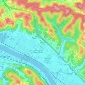
Name: Institute topographic map, elevation, terrain.
Location: Institute, Kanawha County, West Virginia, 25112, USA (38.36361 -81.78547 38.40361 -81.74547)
Average elevation: 226 m
Minimum elevation: 173 m
Maximum elevation: 326 m