
Mwembeshi topographic map
Interactive map
Click on the map to display elevation.
About this map
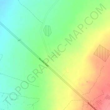
Name: Mwembeshi topographic map, elevation, terrain.
Location: Mwembeshi, Chilanga District, Lusaka Province, Zambia (-15.33115 27.92840 -15.32507 27.93296)
Average elevation: 1,108 m
Minimum elevation: 1,069 m
Maximum elevation: 1,153 m
Other topographic maps
Click on a map to view its topography, its elevation and its terrain.
Lusaka
Lusaka, Lusaka District, Lusaka Province, 10101, Zambia
Average elevation: 1,227 m
Kafue
Zambia > Lusaka Province > Kafue
Kafue, Kafue District, Lusaka Province, Zambia
Average elevation: 1,028 m