
Thank you for supporting this site ❤️
Make a donation
Make a donation
Bachen topographic map
Click on the map to display elevation.
Thank you for supporting this site ❤️
Make a donation
Make a donation
About this map
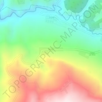
Name: Bachen topographic map, elevation, terrain.
Location: Bachen, Chenalhó, Chiapas, Mexiko (16.94371 -92.61499 16.94564 -92.60825)
Average elevation: 1,507 m
Minimum elevation: 1,242 m
Maximum elevation: 1,848 m
Thank you for supporting this site ❤️
Make a donation
Make a donation