
Thank you for supporting this site ❤️
Make a donation
Make a donation
Gunung Senibong topographic map
Click on the map to display elevation.
Thank you for supporting this site ❤️
Make a donation
Make a donation
About this map
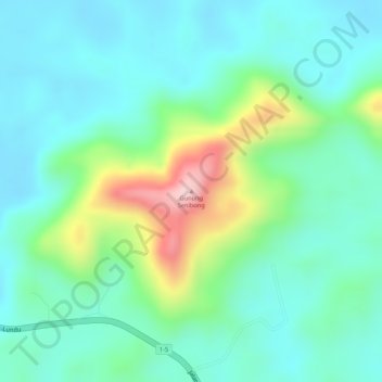
Name: Gunung Senibong topographic map, elevation, terrain.
Location: Gunung Senibong, Lundu, Kuching Division, Sarawak, Malaysia (1.56596 109.90931 1.56606 109.90941)
Average elevation: 79 m
Minimum elevation: 11 m
Maximum elevation: 259 m
Thank you for supporting this site ❤️
Make a donation
Make a donation
Other topographic maps
Click on a map to view its topography, its elevation and its terrain.