
Thank you for supporting this site ❤️
Make a donation
Make a donation
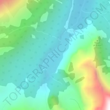
Moraine Lake topographic map
Click on the map to display elevation.
Thank you for supporting this site ❤️
Make a donation
Make a donation
Moraine Lake
Moraine Lake is a snow and glacially fed lake in Banff National Park, 14 kilometres (8.7 mi) outside the village of Lake Louise, Alberta, Canada. It is situated in the Valley of the Ten Peaks, at an elevation of approximately 1,884 metres (6,181 ft). The lake has a surface area of 50 hectares (120 acres).
Thank you for supporting this site ❤️
Make a donation
Make a donation
About this map
Name: Moraine Lake topographic map, elevation, terrain.
Location: Moraine Lake, Improvement District No. 9, Alberta, Canada (51.31569 -116.19126 51.32768 -116.17854)
Average elevation: 2,101 m
Minimum elevation: 1,825 m
Maximum elevation: 2,979 m
Thank you for supporting this site ❤️
Make a donation
Make a donation
Other topographic maps
Click on a map to view its topography, its elevation and its terrain.