
Thank you for supporting this site ❤️
Make a donation
Make a donation
Rothenfelde topographic map
Click on the map to display elevation.
Thank you for supporting this site ❤️
Make a donation
Make a donation
About this map
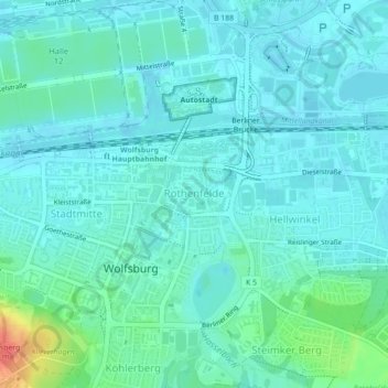
Name: Rothenfelde topographic map, elevation, terrain.
Location: Rothenfelde, Wolfsburg, Niedersachsen, Deutschland (52.42375 10.78981 52.42763 10.79633)
Average elevation: 67 m
Minimum elevation: 57 m
Maximum elevation: 109 m
Thank you for supporting this site ❤️
Make a donation
Make a donation
Other topographic maps
Click on a map to view its topography, its elevation and its terrain.