
Mabato topographic map
Click on the map to display elevation.
About this map
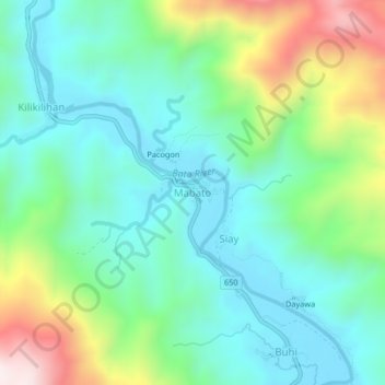
Name: Mabato topographic map, elevation, terrain.
Location: Mabato, San Miguel, Catanduanes, Bicol Region, Philippines (13.67262 124.27793 13.71262 124.31793)
Average elevation: 187 m
Minimum elevation: 9 m
Maximum elevation: 638 m