
Thank you for supporting this site ❤️
Make a donation
Make a donation
Green River Knob topographic map
Click on the map to display elevation.
Thank you for supporting this site ❤️
Make a donation
Make a donation
About this map
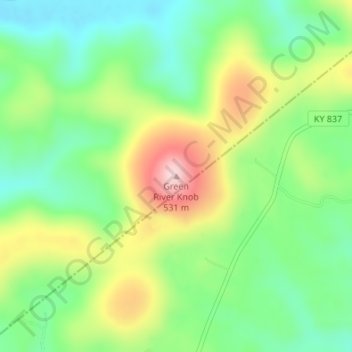
Name: Green River Knob topographic map, elevation, terrain.
Location: Green River Knob, Casey County, Kentucky, United States (37.15323 -84.84535 37.15333 -84.84525)
Average elevation: 366 m
Minimum elevation: 269 m
Maximum elevation: 523 m
Thank you for supporting this site ❤️
Make a donation
Make a donation
Other topographic maps
Click on a map to view its topography, its elevation and its terrain.