
Thank you for supporting this site ❤️
Make a donation
Make a donation
Welt topographic map
Click on the map to display elevation.
Thank you for supporting this site ❤️
Make a donation
Make a donation
About this map
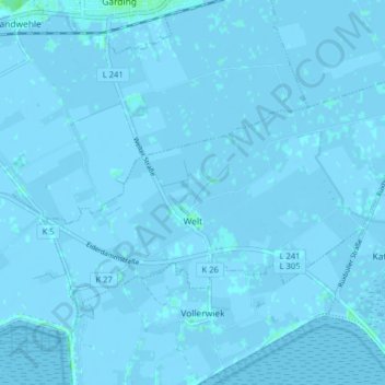
Name: Welt topographic map, elevation, terrain.
Location: Welt, Eiderstedt, Nordfriesland, Sleeswijk-Holstein, Duitsland (54.29127 8.76448 54.32172 8.84404)
Average elevation: 0 m
Minimum elevation: -4 m
Maximum elevation: 5 m
Thank you for supporting this site ❤️
Make a donation
Make a donation
Other topographic maps
Click on a map to view its topography, its elevation and its terrain.
Westerheide
Duitsland > Sleeswijk-Holstein > Nordfriesland > List auf Sylt > Westerheide
Average elevation: 2 m
Thank you for supporting this site ❤️
Make a donation
Make a donation