
Santor topographic map
Interactive map
Click on the map to display elevation.
About this map
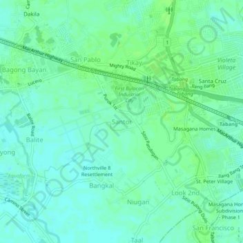
Name: Santor topographic map, elevation, terrain.
Location: Santor, Bulacan, Central Luzon, 3015, Philippines (14.81333 120.83193 14.85333 120.87193)
Average elevation: 6 m
Minimum elevation: 1 m
Maximum elevation: 9 m