
Thank you for supporting this site ❤️
Make a donation
Make a donation
Xanten topographic map
Click on the map to display elevation.
Thank you for supporting this site ❤️
Make a donation
Make a donation
About this map
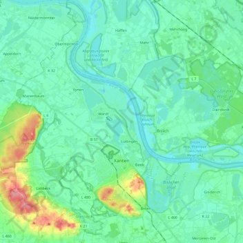
Name: Xanten topographic map, elevation, terrain.
Location: Xanten, Kreis Wesel, North Rhine-Westphalia, 46509, Germany (51.61340 6.35493 51.75519 6.51750)
Average elevation: 24 m
Minimum elevation: 7 m
Maximum elevation: 92 m
Thank you for supporting this site ❤️
Make a donation
Make a donation
Other topographic maps
Click on a map to view its topography, its elevation and its terrain.