
Thank you for supporting this site ❤️
Make a donation
Make a donation
Bajamas topographic map
Click on the map to display elevation.
Thank you for supporting this site ❤️
Make a donation
Make a donation
About this map
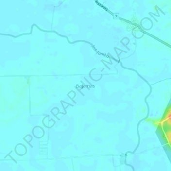
Name: Bajamas topographic map, elevation, terrain.
Location: Bajamas, Central Tapanuli, North Sumatra, Sumatra, Indonesia (2.11795 98.22432 2.15795 98.26432)
Average elevation: 3 m
Minimum elevation: -1 m
Maximum elevation: 34 m
Thank you for supporting this site ❤️
Make a donation
Make a donation