
Thank you for supporting this site ❤️
Make a donation
Make a donation
Purana Leikul topographic map
Click on the map to display elevation.
Thank you for supporting this site ❤️
Make a donation
Make a donation
About this map
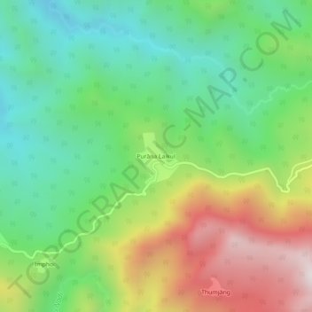
Name: Purana Leikul topographic map, elevation, terrain.
Location: Purana Leikul, Mahur, Dima Hasao, Assam, India (25.17685 93.19339 25.21685 93.23339)
Average elevation: 957 m
Minimum elevation: 508 m
Maximum elevation: 1,715 m
Thank you for supporting this site ❤️
Make a donation
Make a donation