
Watwat topographic map
Click on the map to display elevation.
About this map
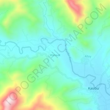
Name: Watwat topographic map, elevation, terrain.
Location: Watwat, Nueva Vizcaya, Cagayan Valley, 3703, Philippines (16.30983 121.25956 16.34983 121.29956)
Average elevation: 841 m
Minimum elevation: 710 m
Maximum elevation: 1,218 m
Other topographic maps
Click on a map to view its topography, its elevation and its terrain.