
Thank you for supporting this site ❤️
Make a donation
Make a donation
Ortiguero topographic map
Click on the map to display elevation.
Thank you for supporting this site ❤️
Make a donation
Make a donation
About this map
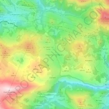
Name: Ortiguero topographic map, elevation, terrain.
Location: Ortiguero, Cabrales, Asturias, 33555, España (43.30735 -4.92371 43.34735 -4.88371)
Average elevation: 461 m
Minimum elevation: 228 m
Maximum elevation: 789 m
Thank you for supporting this site ❤️
Make a donation
Make a donation
Other topographic maps
Click on a map to view its topography, its elevation and its terrain.
Thank you for supporting this site ❤️
Make a donation
Make a donation